
In a previous article, we talked about the Satellite based Automatic Identification System also called S-AIS. This satellite tracking system allows, among other things, to collect data from boats all over the world. There are now many free access sites collecting these S-AIS data and allowing scientists, governments, associations, but also everyone to keep an eye on human activity at sea.
For example Spyglass.fish is a website collecting these data and specialized in tracking reported crimes in the world’s oceans. There is also, among many others, Marinetraffic which proposes a unique map showing each boat at sea and their movement in real time. But the site that is currently the most efficient in the world and the first one to track fishing boats is Global Fishing Watch.
Global Fishing Watch was founded in 2015 through the collaboration of « Oceana, an international ocean conservation organization, SkyTruth, a technology company that uses satellite imagery and data to protect the environment, and Google, whose tools and contributions help process big data. »; « In June 2017, nearly a year after its official launch Global Fishing Watch was established as an independent, international nonprofit organization. »
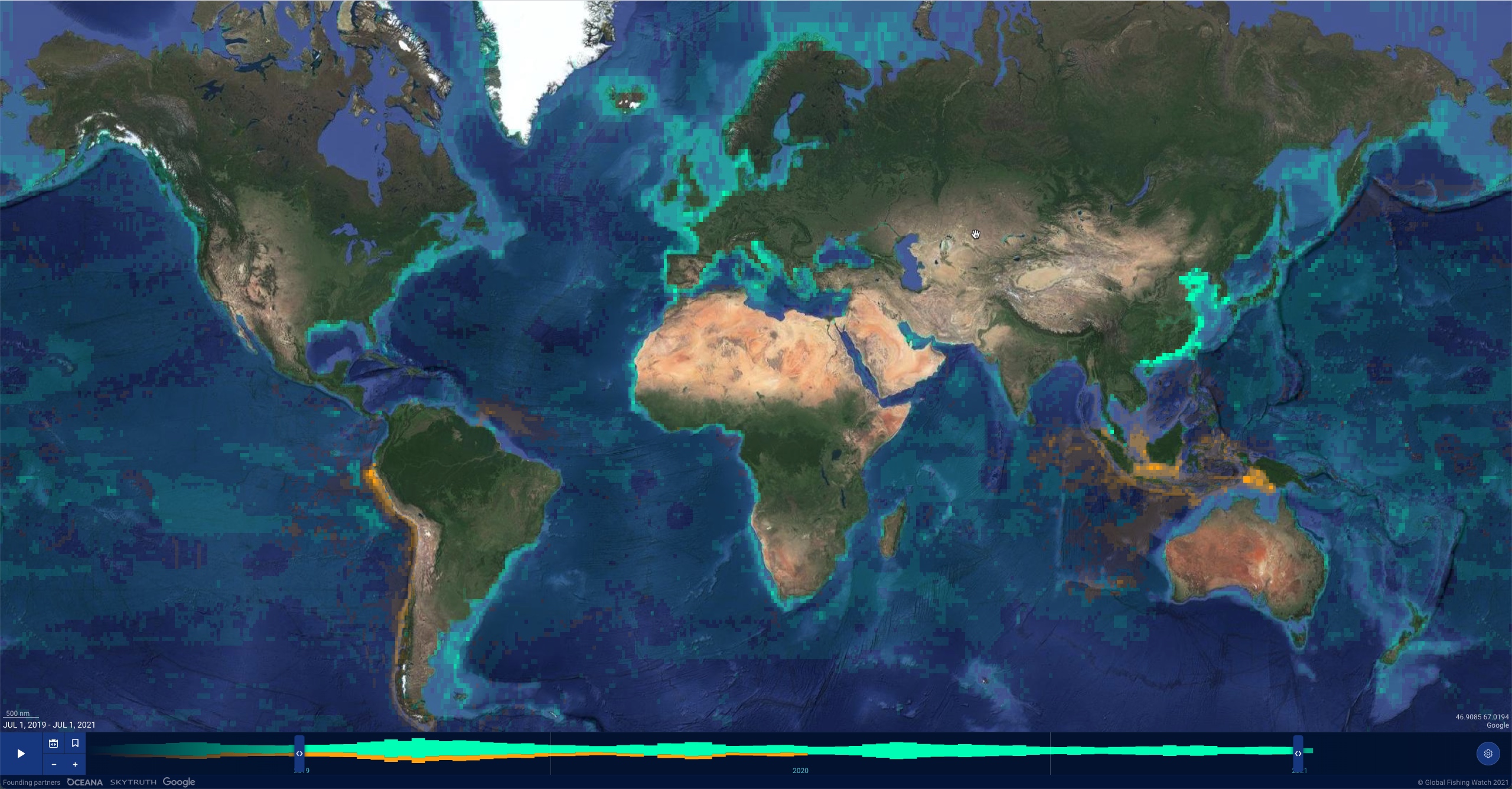
Its stated goal: « to advance ocean governance through increased transparency of human activity at sea. » The NGO makes map visualizations, data and analysis tools available to anyone with an Internet connection. For example, an interactive map can be accessed on its site to monitor global fishing activity from 2012 to the present for more than 65,000 commercial fishing vessels. Numerous features are available ranging from searching for vessels, filtering activity by time period, identifying port visits and displaying vessel encounters. « The map also allows anyone to upload and overlay their own data, download activity reports from custom areas and save and share workspaces. »
In March 2018, the nonprofit Oceana unveiled a report investigating cases of missing vessels at sea. In it, it highlights four commercial fishing vessels that appear to be disabling their public tracking systems, a behavior known as « sinking at sea. » Among them, the first one that was detected with Global Fishing Watch was the Tiuna, a Panamanian vessel. It was fishing off the coasts of Colombia and Ecuador in 2014 when its AIS system was suddenly disabled on October 9. Surprisingly, this disappearance occurred when the Tiuna was west of the Galapagos Marine Reserve, one of the richest areas of biodiversity in the world. Classified by UNESCO, this marine reserve prohibits any type of commercial fishing within it since 2001. Finally, the Tiuna will reappear in the east of the reserve, on October 27, 2014. We have observed and animated this disappearance on the Global Fishing Watch map.
Obviously, this illustration is only done on one vessel in order to understand how Global Fishing Watch works, but it applies to many cases. For example, in recent years, thousands of Chinese vessels regularly attempt to fish in this same area of the Galapagos explain The Guardian.
To counter these armadas of boats destroying the efforts of MPAs and local populations, Guillermo Lasso Mendoza, president of the Republic of Ecuador, announced at Cop 26 in November 2021 that « 60,000 additional km2 of protected ocean would be added to the 130,000 km2 that already exist around the islands.
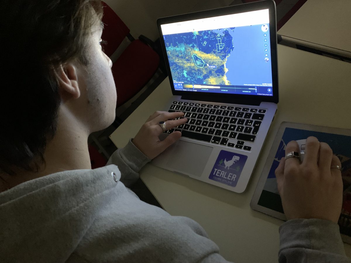
If you want to learn more about how to use Global Fishing Watch, here is a tutorial made by the association :